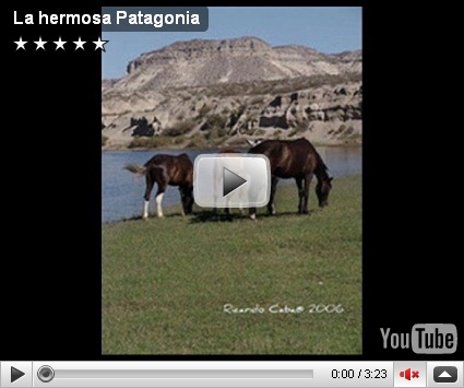
Argentinean Patagonia is wind swept scrub, with huge rock towers and glaciers that fall majestically into the huge lakes that drain the winter snows.

In the hollows of the plains are ponds or lakes of fresh and brackish water. Towards the Andes the shingle gives place to porphyry, granite, and basalt lavas, animal life becomes more abundant and vegetation more luxuriant, acquiring the characteristics of the flora of the western coast, and consisting principally of southern beech and conifers.
The high rainfall against the western Andes (Wet Andes) and the low sea surface temperatures offshore give rise to cold and humid air masses, contributing to the ice-fields and glaciers, the largest ice-fields in the Southern hemisphere outside of Antarctica.

Among the depressions by which the plateau is intersected transversely, the principal are the Gualichu, south of the Río Negro, the Maquinchao and Valcheta (through which previously flowed the waters of Nahuel Huapi Lake, which now feed the river Limay); the Senguerr (spelled Senguer on most Argentine maps and within the corresponding region), the Deseado River.
Besides these transverse depressions (some of them marking lines of ancient inter-oceanic communication), there are others which were occupied by more or less extensive lakes, such as the Yagagtoo, Musters and Colhue Huapi, and others situated to the south of Puerto Deseado, in the centre of the country.

There, in contact with folded Cretaceous rocks, uplifted by the Tertiary granite, erosion, caused principally by the sudden melting and retreat of the ice, aided by tectonic changes, has scooped out a deep longitudinal depression, which generally separates the plateau from the first lofty hills, the ridges generally called the pre-Cordillera, while on the west of these there is a similar longitudinal depression all along the foot of the snowy Andean Cordillera.
This latter depression contains the richest and most fertile land of Patagonia. Lake basins along the Cordillera were also excavated by ice-streams, including Lake Argentino and Lake Fagnano, as well as coastal bays such as Bahía Inútil.


Custom Search

If you liked this article, subscribe to the feed by clicking the image below to keep informed about new contents of the blog:


Comments
Post a Comment
Do not insert clickable links or your comment will be deleted. Check the Notify me notifications to be notified via email of new comments. If I helped you with the post or with the answers to the comments, share on Facebook or Twitter. Thank you.